Stage 2: GRIND
Every Climb Carves a Rider.
At a Glance
Route details subject to change pending permits, weather, natural distasters, force majeur, etc.
Start: Downtown Prescott
Finish: Downtown Prescott
Long Course: 54.6 mi (87.9 km) / 5,472 ft gain (1,668 m)
Short Course: 45.3 mi (73.0 km) / 4,973 ft gain (1,516 m)
*Note: Short Course follows the same start and finish as Long Course, but bypasses Big Bug Mesa Loop
Important Times
7:30 AM: Rider Briefing and Staging – Downtown Prescott
8:00 AM: Start - Downtown Prescott
4:00 PM: Course Closed / Max. Time
Stage Story
The dust from Stage 1 hasn’t even settled into your gear before it’s time to ride again.
The GRIND of Stage 2 doesn’t break you with a single climb – it wears you down mile after dusty mile, like the slow, steady pull of a long campaign.
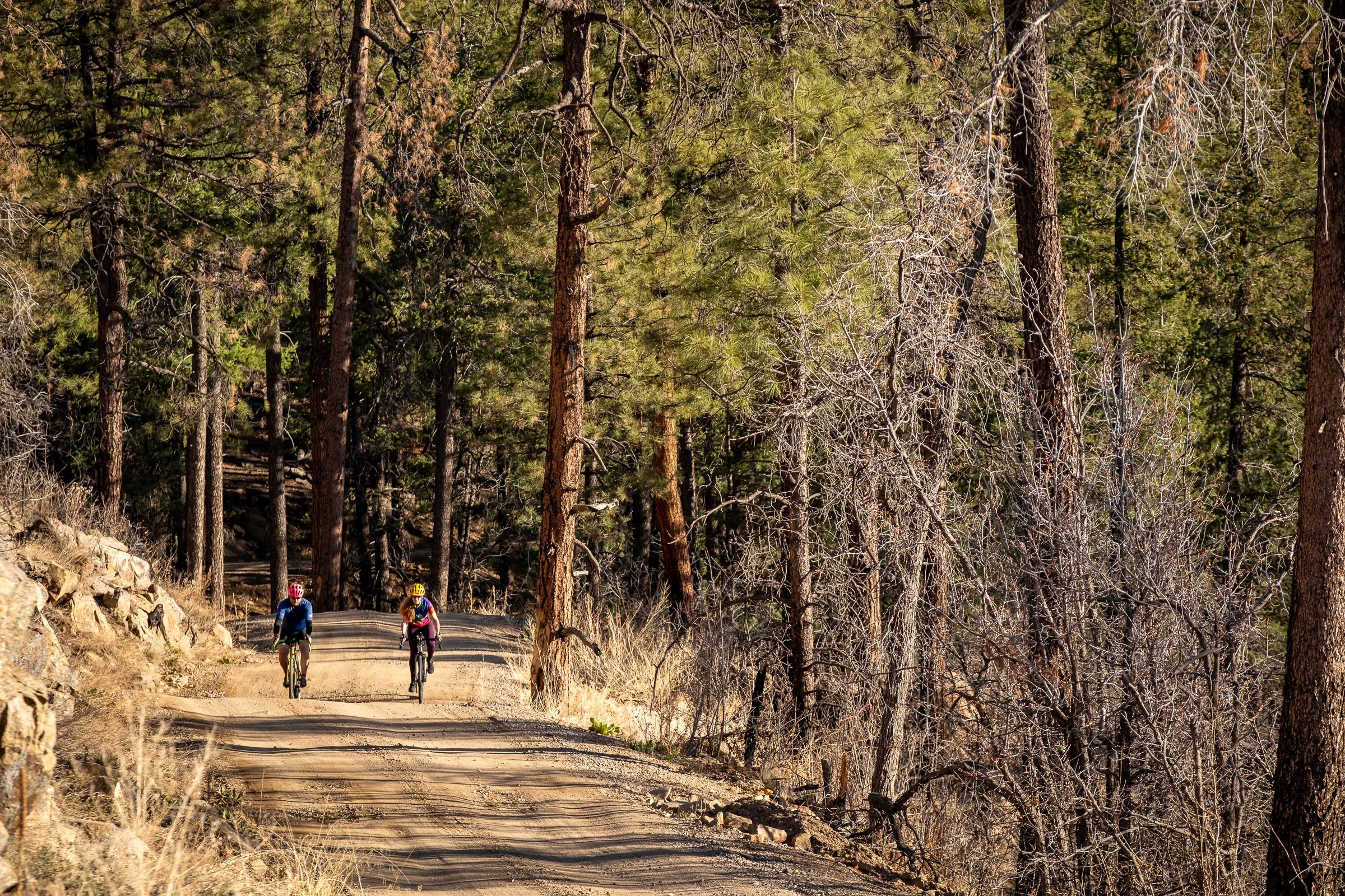
The pines close in, the mining roads twist higher, and the ridgelines keep asking if you’ve got one more climb in you. You’ll see parts of the frontier that Buckey saw. No easy passages. Each mile has to be earned.
You’ll ride where the cavalry once scouted, where supply trains rattled over dirt, and where Buckey’s kind of grit meant coming home or not at all. By the time you drop back into Prescott, you’ll know you’ve been shaped by the gravel.
With GRIT and GRIND, you’ve proven you are ready for the final push to GLORY.
Route Breakdown
Rolling Out of Town
Both the Long and Short Course riders roll out from the courthouse square, heading south on Hwy. 89 before swapping out pavement for gravel in Ponderosa Park. You'll climb through Turkey Track and Indian Creek before the course really finds its rhythm on Wolf Creek Road.
Checkpoint 1: 5 Corners Split (~41 km / 25 miles)
Here, the day changes. Short Course riders turn toward Big Bug Mesa, while Long Course riders take the long way, pushing east toward Poland Junction, then south toward Mayer to tackle rolling pavement and gravel before climbing back towards the west.
(Long Course Only) Checkpoint 2: Pine Flats (~77 km / 48 miles)
More remote dirt climbs and rolling pavement await the Long Course on FR 67 and South Senator Highway. The second aid station, located at Pine Flats, is your last chance to fuel up before the final set of rolling climbs back towards the finish.
Merging Routes
Both the Long and Short courses rejoin near South Senator Highway, leading into a fast descent through Wolf Creek before the final urban roll back into Prescott.
The Finish: Granite and Grind
The last kilometers thread through historic streets, setting up a finish that’s as much about survival as speed. Downtown Prescott is waiting, and so is the cold victory drink you’ve been thinking about since mile 30.
What to Expect
Surface Mix
Long Course: ~55% gravel, 30% paved, 15% forest track
Short Course: ~60% gravel, 25% paved, 15% forest track
Effort Profile
Long Course: Two major climbs, long rollers, technical descents
Short Course: One major climb, early descent, fast finish
Pro Tips
Fuel early – the course is remote and doesn't give anything away easily
Expect temperature swings between exposed roads and pine-shaded forest routes
Ride steady; the GRIND rewards patience
NEXT UP STAGE 3: GLORY >
Click on map to enlarge


Stage 2 Long Course Map:
This stage doesn’t knock you down in one punch, it wears you down slowly. And that’s the point.
Stage 2 Short Course Map:
*All distances and elevation gain are approximate and will vary depending on the watch, app, or measuring device that you use.
*Due to ever-changing wildlife restrictions, wildfires, weather-related trail closures, and other unforeseen limitations, the following information is subject to change at any time before, during, or after the start of each stage.